A critical winter storm warning has been expanded across the Northeast and Upper Midwest this Friday, March 13, 2026, as a land hurricane system threatens to paralyze the Friday evening commute.
According to the National Weather Service (NWS), this rapidly intensifying low-pressure system is packing northwest winds with gusts up to 60 mph, capable of toppling power lines and trees. While the Mid-Atlantic prepares for a messy mix of rain and snow, regions from Minnesota to Maine are braced for snowfall rates exceeding one to two inches per hour.
With over 11,000 flights already impacted by this week's Storm Parade, meteorologists warn that the combination of heavy, wet snow and severe gales creates a high risk for prolonged power outages and life-threatening whiteout conditions.
Where are the Current Winter Storm Warnings in Effect?
The NWS has blanketed several states with urgent weather alerts. The hardest-hit areas currently under a winter storm warning or blizzard warning include:
-
Minnesota and Wisconsin: Heavy snow totaling 4 to 12 inches is expected through Friday afternoon, particularly in the Arrowhead region and the North Shore.
-
The Northeast Corridor: From Maine down through parts of New York and Connecticut, residents are bracing for a secondary burst of snow following the Blizzard of ‘26 cleanup.
-
Montana and the Rockies: Higher elevations could see staggering totals, with some forecasts suggesting an additional 1 to 3 feet of snow through Saturday.
| Region | Expected Snowfall | Wind Gusts | Primary Threat |
| Upper Midwest | 6–12 Inches | 55–60 mph | Blizzard Conditions |
| Northeast | 3–6 Inches | 40–50 mph | Icy Roads / Squalls |
| Northern Rockies | 12–36 Inches | 45 mph | Mountain Pass Closures |
Check Out - Heavy Snow Warning Issued: 4 Feet of Snow and 55 MPH Winds to Slam Washington, Alaska
How will this Winter Storm Impact Friday Travel and Power?
The primary concern for the tri-state area and New England is weather whiplash. Temperatures in the mid-30s may cause snow to transition into rain before a flash freeze occurs on Friday night.
-
Aviation Disruptions: Major hubs in Boston (BOS) and New York (JFK/LGA) are seeing a spike in cancellations. Airlines recommend checking flight statuses at least four hours before departure.
-
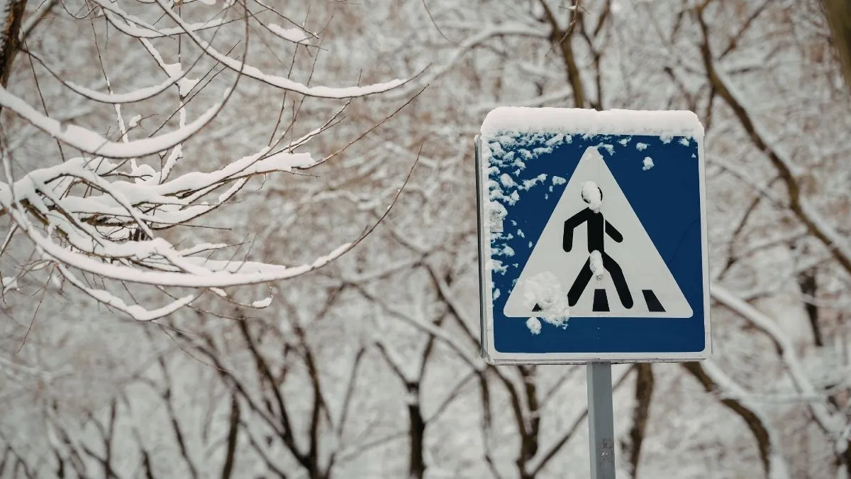
Road Safety: Ground blizzards in the Red River Valley and intense snow squalls in the Finger Lakes region will make visibility near zero. Officials at NWS Boston have issued a "Turn Around, Don't Drown" advisory for areas seeing localized flooding from melting snow and heavy rain.
-
Utility Risks: "Winds like that, combined with heavy, wet snow, are a recipe for damaged trees and power outages," warned meteorologist Bryce Williams. Utility crews across 22 states remain on high alert as the storm moves eastward.
What are the Safety Tips for a Winter Storm Warning?
Preparation is the key to navigating this late-season surge. NWS officials recommend that residents in warned areas stay indoors and avoid the Friday evening rush. If you must travel, keep a winter emergency kit in your vehicle containing blankets, a flashlight, and extra batteries. For those in flood-prone zones, monitor water levels closely as rain mixes with existing snowpack, creating a rapid runoff risk.
Check Out - Massive Snow Storm Forecast Triggers Blizzard Warning for Midwest; Up to 12 Inches Expected
This late-winter system serves as a stark reminder that while spring is on the horizon, the atmosphere remains highly volatile. Residents should stay tuned to NOAA Weather Radio and local news outlets as conditions are expected to shift rapidly through Friday night, with a secondary, potentially larger storm system already appearing on long-range models for the upcoming weekend.


Comments
All Comments (0)
Join the conversation